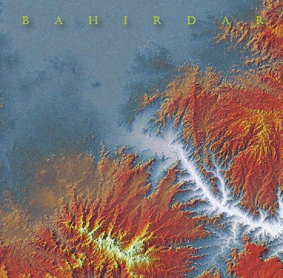
2.5D Map of Bahir Dar, Africa
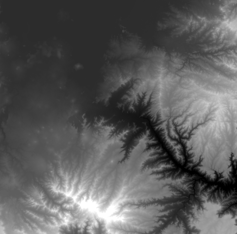
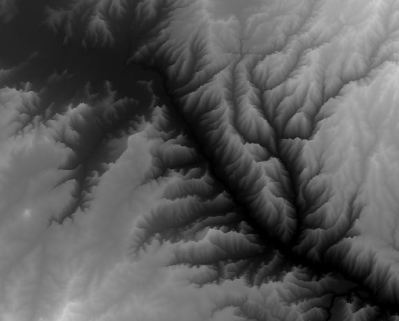
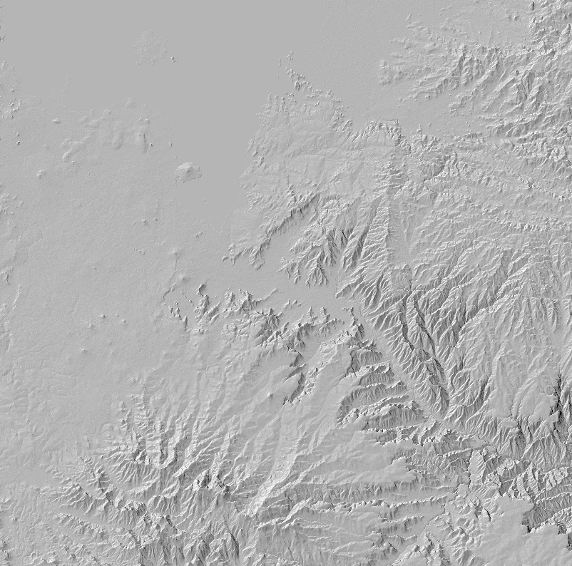
In this project, I explored the creation of a map of the Great Rift Valley in Ethiopia using the Plan Oblique tool in ArcGIS Pro. The tool allowed for a unique vertical warping of elevation data, resulting in a modified elevation model that gave the impression of looking slightly sideways at the terrain. I explained the process of setting the vertical offset and shared the challenges encountered, such as the limit on the length of result names. The map was comprised of nine layers, each with a distinct color scheme and blend mode to create a visually appealing and textured representation of the terrain.
I also described the use of hillshade layers, mist effects, and edge detection techniques to enhance the map's realism. The final map was exported to Adobe Illustrator, where blend modes were reapplied for consistent visuals. I emphasized the experimental and iterative nature of map-making, where random exploration and happy accidents contributed to the final result. Overall, this project showcased the creative use of GIS tools and techniques to produce visually captivating maps.
Find out More
Tutorial blog
Linkedin Post